
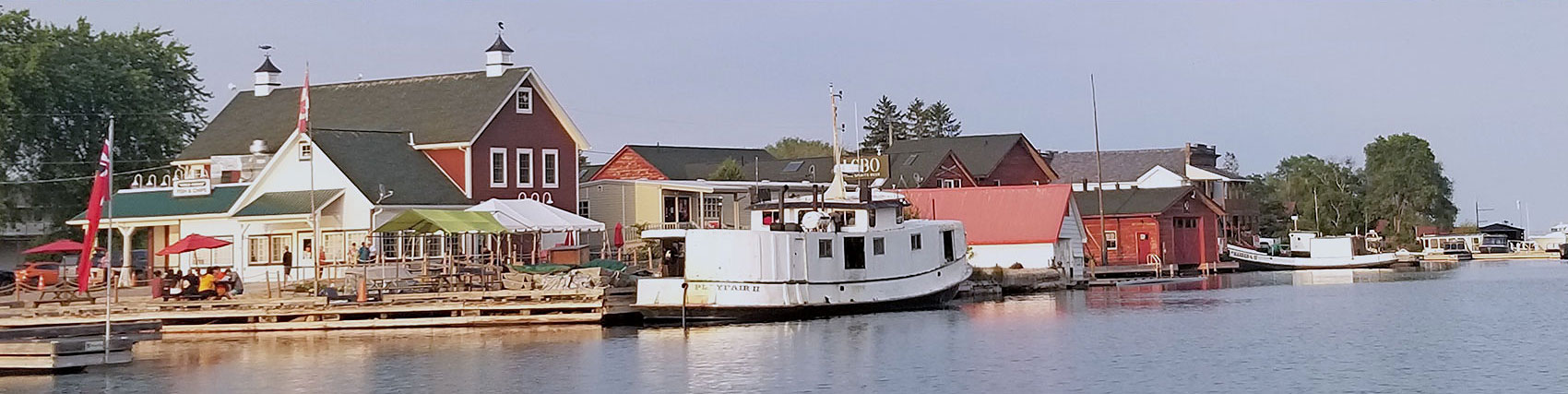
The Killarney Municipal Wharf is a centrepiece in the Village of Killarney. The wharf has long been used for commercial fishing operations with a world renown restaurant operating for over 40 years. It has become an active hub for recreational boaters, tourists and local residents.
Located at the top of Georgian Bay on Lake Huron, the Killarney Municipal Wharf has been adversely impacted by the significant water level fluctuations of the Great Lakes. In 2019 and 2020, areas of the wharf became submerged due to record high water levels, leaving it inaccessible to boaters and visiting tourists. To address this situation, the Municipality completed a Wharf Improvement Study, from which the Municipality agreed to proceed with reconstruction of the entire wharf with a higher deck elevation.
This project involved the completion of a Municipal Class Environmental Assessment (EA). The project followed a Schedule C Class Municipal EA process, which has confirmed the solution identified in the Wharf Improvement Study and has identified a preferred alternative design.
The Notice of Completion has been issued for the Class EA, and the Environmental Study Report (ESR) is now available for public review and comment. The ESR documents the planning process undertaken and provides details of the study recommendations as well as potential impacts and mitigation measures.
The deadline for comments is February 12, 2024.
The Notice of Completion, ESR and previously issued project documents are provided below.
The Preferred Alternative Design is Alternative Design Concept B (from Open House #2), which has been modified slightly based on feedback received after Public Open House #2. The Preferred Alternative Design Concept includes the following key aspects:
The design of the wharf will increase its resilience to climate change impacts, such as the ability to resist extreme weather events and elevated water levels.
Appendix A: Natural Heritage Reports
Appendix B: Archaeological and Built / Cultural Heritage
Appendix C: Evaluation of Alternative Solutions
Appendix D: Evaluation of Alternative Designs
Appendix E: Consultation Documentation
Notice of Public Open House #1 - February 15, 2023
Public Open House #1 Display Boards - February 15, 2023
Notice of Open House #2 - August 30, 2023
Public Open House #2 Display Boards - August 30, 2023
Information will be provided in an alternate accessible format upon request